| data fields | Note |
|---|---|
| number | 025 |
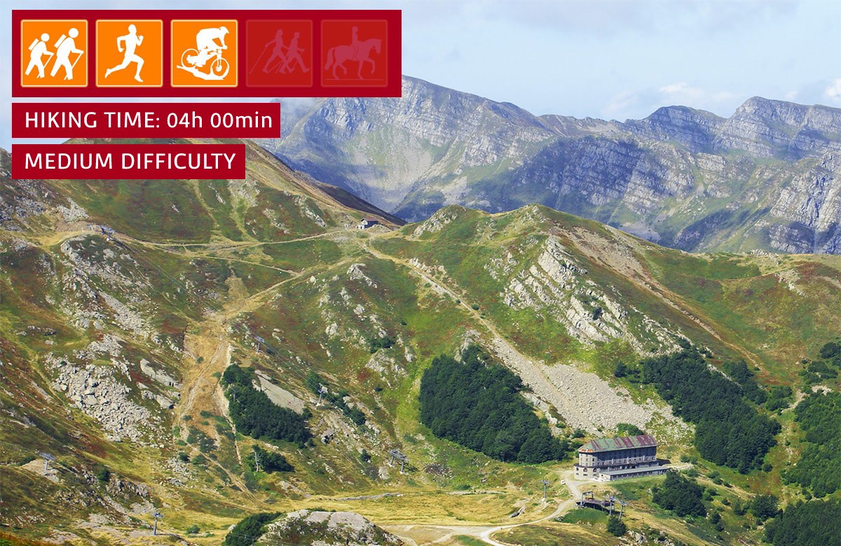
| suitable for |
|
| degree of difficulty |
|
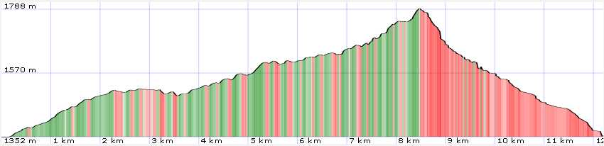
| distance | 13 km |
| difference in altitude | 600 mt D+ and 600 mt D- |
| hiking time | 4h |
| recommended period |
|
| Road surface | dirt road, path |
Trail 2 - Il Passo di Annibale
From Val di Luce on the Duca street up to Passo d'Annibale
Path does not present technical difficulties (most of the route takes place on a dirt road) and which allows you to arrive in one of the most fascinating points of the Apennines. From Passo d'Annibale you dominate the Val di Luce and you can admire the main peaks: Monte Rondinaio and Monte Giovo on one side and Monte Gomito and Dente della Vecchia on the other form a truly incredible landscape frame. In early autumn, the blueberry groves turn the slopes red, making this walk even more fascinating.
