| data fields | Note |
|---|---|
| number | 003 |
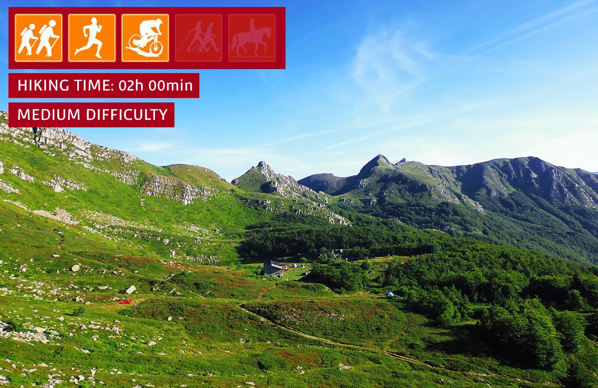
| suitable for |
|
| degree of difficulty |
|
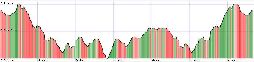
| distance | 7 km |
| hiking time | 2h |
| difference in altitude | 400 mt D+ e 400 mt D- |
| recommended period |
|
| Road surface | path, rocky ground |
| additional notes | Pay particular attention to the rocky section between Passo della Fariola and Passo della Vecchia |
Trail 3 - Dal Monte Gomito ai laghi
Denti della Vecchia dominate two lakes
An itinerary with a small difference in height but with good technical skills that will allow you to discover some of the most characteristic corners located behind Monte Gomito
