| data fields | Note |
|---|---|
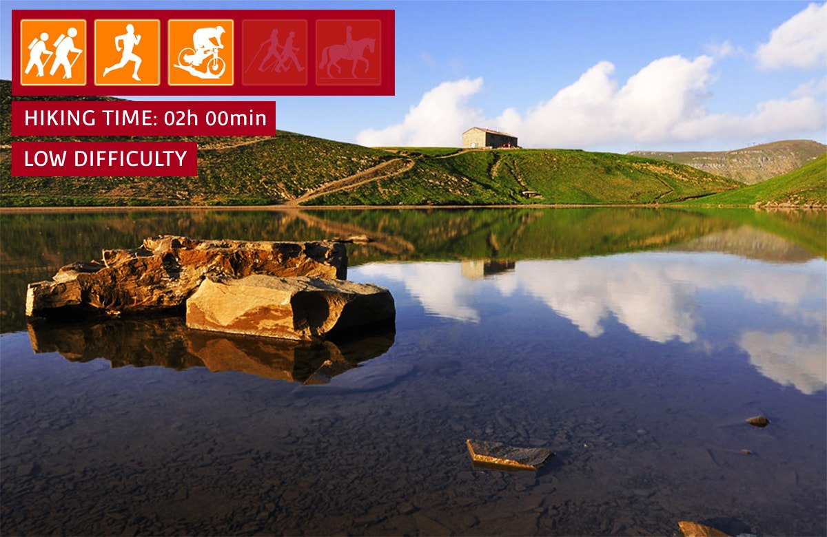
| number | 006 |
| suitable for |
|
| degree of difficulty |
|
| distance | 7 km |
| hiking time | 2h |
| difference in altitude | 300 mt D+ and 300 mt D- |
| recommended period |
|
| Road surface | dirt road, path |
| additional notes | Lago Scaffaiolo is located in a stretch of ridge often characterized by fog or strong winds. It is advisable to inquire before leaving and ALWAYS have the right equipment with you. |

Trail 6 - Il Lago Scaffaiolo
Glimpses of Lake Scaffaiolo
Short and not very demanding excursion both technically and in terms of height difference (to make it even easier it is possible to reach the Croce Arcana by car instead of starting from the Doganaccia). Scaffaiolo Lake is a place around which a magical atmosphere is created. Glimpses of light, sunsets and panoramas as far as the eye can see can suddenly emerge from the thick fog that sometimes envelops this stretch of ridge. The Duca degli Abruzzi refuge - which is located next to the lake - can be used as a stopping point for other excursions along the ridges or to the nearby Dardagna waterfalls.
