| data fields | Note |
|---|---|
| number | 008 |
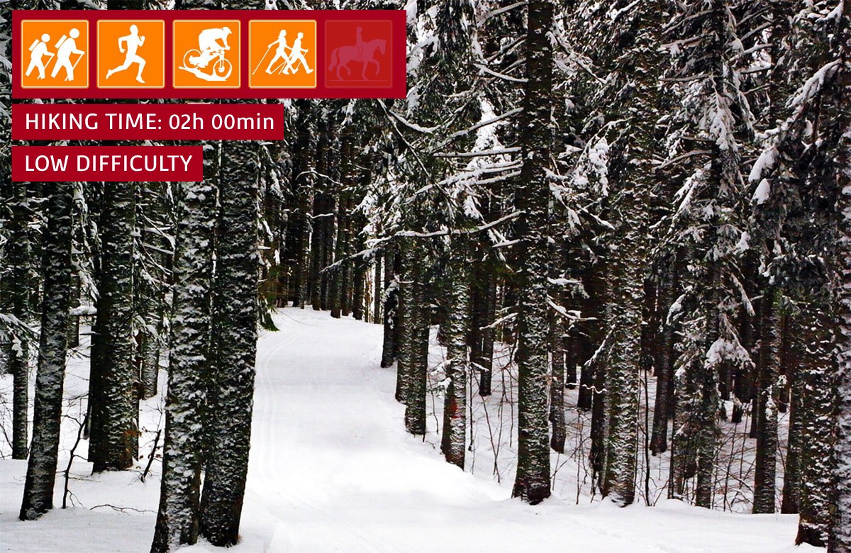
| suitable for |
|
| degree of difficulty |
|
| distance | 7 km |
| hiking time | 2h |
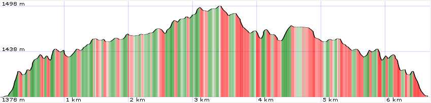
| difference in altitude | 200 mt D+ and 200 mt D- |
| periodo consigliato |
|
| tRoad surface | dirt road |
Trail 8 - Anello del Maiori
At the base of the Libro Aperto
Non-binding walk that leads from Piazza dell'Abetone up to the slopes of the Libro Aperto (the apex of the ring arrives near the Casetta di Lapo). The slightly undulating route crosses fir and beech woods of the Abetone Forest Reserve offering views of the peaks of the Libro Aperto and part of the Pistoia and Modena Apennine ridge.
